Zulu Marine Services, Inc. – Providing waterway services since 2006
At Zulu Marine Services, Inc., we tackle environmental challenges head-on with cutting-edge equipment, adaptive technology, and a passionate team.
Our goal? Deliver efficient, eco-friendly solutions that make every shoreline, waterway, and community we touch stronger and more sustainable.
Waterway Services
Zulu has nearly 20 years’ experience in providing a range of waterway services that repair damage, restore health and support healthy ponds, lakes, streams and rivers.
Targeted Precision – Environmentally Sensitive
Zulu Marine was founded in 2006 to perform marine operations utilizing purpose-built equipment and highly trained personnel. In 2010, we officially became Zulu Marine Services, Inc., with locations in New Hanover County, NC, and McIntosh County, GA.
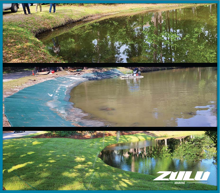
With years of hands-on experience, we tackle a wide range of water-based projects, including stream debris removal, living shoreline installations, bank stabilization, vessel removal and disposal, dredging, underwater inspections, and more. Our team knows the ins and outs of every service we provide, ensuring expert execution while prioritizing environmental protection and safety. We strictly follow OSHA guidelines, enforce rigorous safety protocols, and have a spotless safety record with every project having a dedicated manager and safety officer on-site.
We specialize in working in sensitive environments like wetlands, always strive to leave no permanent trace. At Zulu Marine, we do the job right, with precision, care, and respect for the environment.

Disaster Response and Clean-Up
In the wake of a devastating event, once the danger has passed and threat to human life is over, the time comes to begin sorting through the damage and strive for recovery. Zulu has practical experience in disaster response with our work on Deepwater Horizon, Hurricane Sandy, and more recently with the hurricanes that generated extensive damage and debris in Coastal Georgia, and South Carolina.
Zulu provides above and below the tideline response and recovery from debris removal to storm and spill clean-up. We are sensitive to wildlife and protected and fragile areas, and we specialize in low-impact precision removal techniques.
Our team is available to manage your disaster response and recovery needs for natural events such as storms, floods and earthquakes, or man-made events such as spills, fires, crash sites, and more.
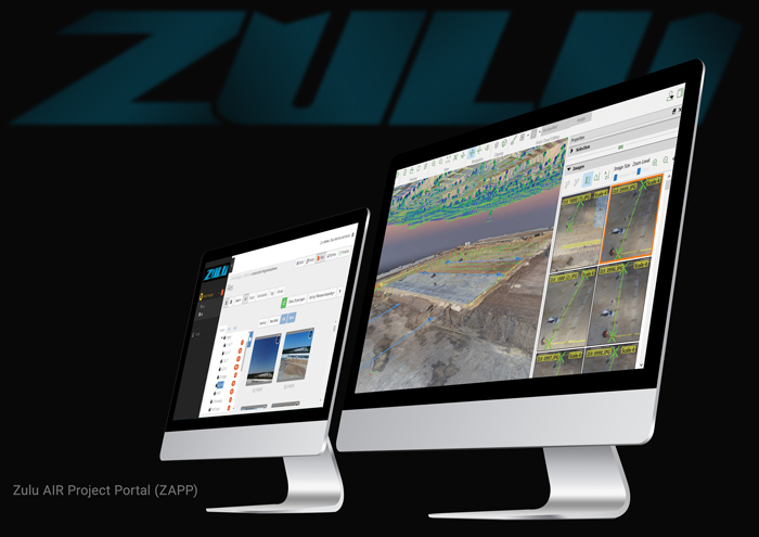
Zulu Project Portal
Our online data management software allows you to review, organize and analyze data from the aerial images and video we’ve gathered for you.


